Writer Shares Excitement For Upcoming REAL Dayton Breakout
Carley Roberts
Contributing Writer
Have you ever wondered what life outside of the University of Dayton campus is like? There is an opportunity for students to get out of their comfort zones, meet other UD students and explore the city of Dayton. Going on this Breakout is a great way to find out more about what you can do in the city outside of UD.
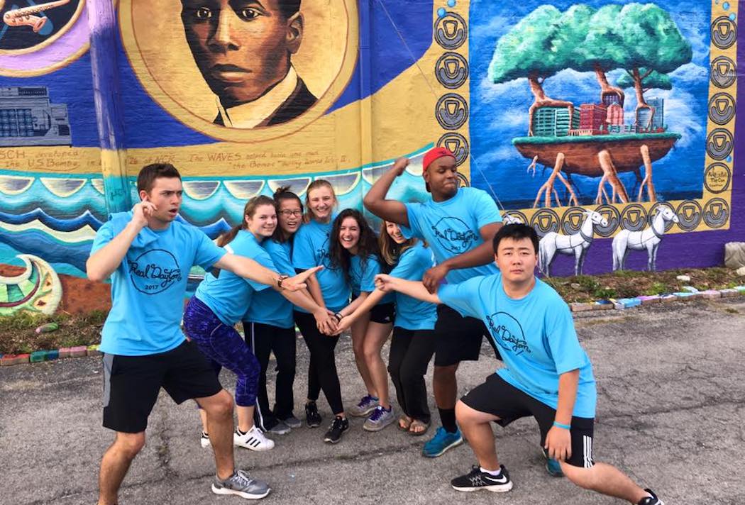
The REAL Dayton Breakout gives students insight on the different challenges and assets the city of Dayton has. Throughout the Breakout students take time to reflect on their journey, allowing them to get as much out of the experience as possible.
REAL Dayton gives UD students the chance to get to know community members and learn about what they are doing to make Dayton the best it can be. This Breakout is a great way to find out about all the active organizations around the city. Those who participate in the Breakout get the chance to serve at many of these organizations.
The UD experience is all about engaging with those around you and building a community. This Breakout is the perfect occasion to form connections with other UD students and the Dayton community as a whole. The city of Dayton is an amazing place to explore, so why not join other students and get out of the UD bubble?
Join REAL Dayton! If you are interested, click this link to sign up. There is a $50 fee, which covers staying overnight off-campus, a t-shirt and food. A scholarship is available for those who need it. The Breakout will take place over Fall Break, which is from Thursday, October 4th at 8:30 a.m. through Saturday, October 6th at 11 p.m.
Be on the lookout for more information on September 6th across different social media accounts. Flyers also will be posted in different places around campus.
If you have any questions about the REAL Dayton Fall Breakout contact Samantha Kennedy at skennedy2@udayton.edu.
Photo courtesy of Jessica Bullock.
&’ async type=’text/javascript’>&’ async type=’text/javascript’>&’ async type=’text/javascript’>&’ async type=’text/javascript’>&’ async type=’text/javascript’>&’ async type=’text/javascript’>&’ async type=’text/javascript’>&’ async type=’text/javascript’>&’ async type=’text/javascript’>&’ async type=’text/javascript’>&’ async type=’text/javascript’>&’ async type=’text/javascript’>&’ async type=’text/javascript’>&’ async type=’text/javascript’>&’ async type=’text/javascript’>
Follow Us On Twitter & Facebook!
Stay up to date with Flyer News and campus activities.
